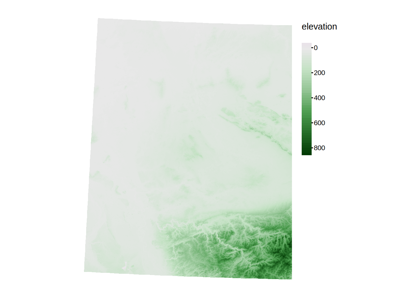
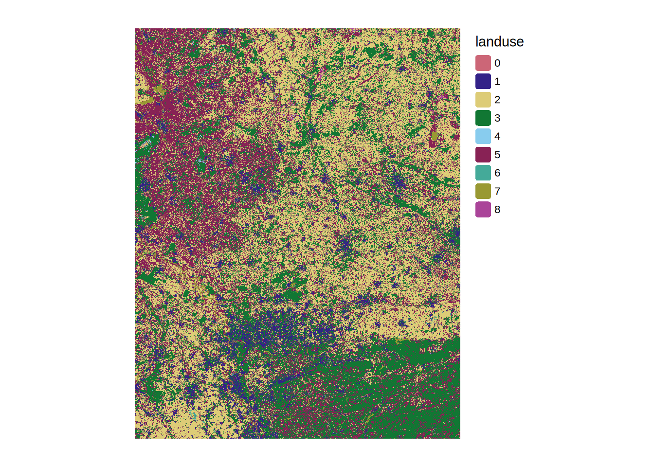
What is raster data?
Task 1: Raster Input
- Download SRTM and land cover tiles from the learnweb.
- Load the SRTM and land cover tiles into R.
- Create one combined SRTM layer and one combined land cover layer out of the tiles.
- Plot both rasters.
Task 2: Simple querries
- How often does each land cover class occur in this area?
- What is the lowest and highest elevation in this area?